Winter storm slams parts of Northeast, leaving more than a foot of snow in Pennsylvania
A winter storm has hit parts of the Northeast, with more than a foot of snow reported in Pennsylvania and New Jersey, including snowfall rates of up to 4 inches per hour.
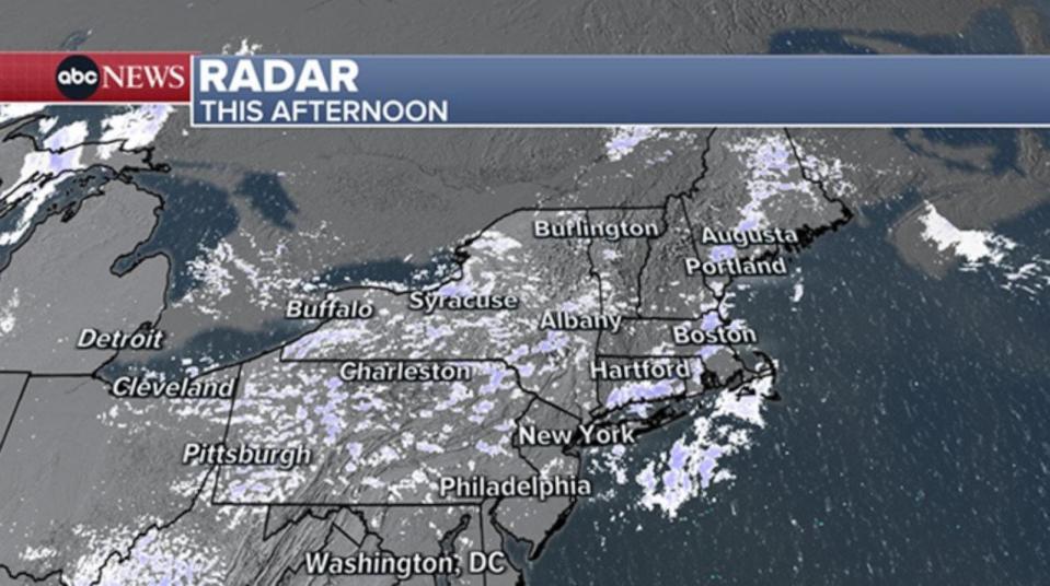
Lingering snow showers are accompanying a cold air resurgence in the Northeast.
In the last 24 hours, a fast-moving storm made the journey from St. Louis to the east coast, dropping moderate to heavy snow at times. The highest snow totals were reported in eastern Pennsylvania and central New Jersey, where more than a foot of snowfall blanketed the ground.
In Macungie, Pennsylvania, 14.8 inches of snow fell; in Center Valley, Pennsylvania, 13.8 inches of snow fell; while Holland Township, New Jersey, received 13 inches on Saturday.

Allentown, Pennsylvania, received 12.1 inches, New Brunswick, New Jersey, received 10.1 inches and Coney Island, New York, received 9.9 inches of snow.


On Friday, 4 to 6 inches of snow fell in the St. Louis, Missouri, area. There was a large pileup on Interstate 70 west of St. Louis where the local fire department said they had been responding to several multi-vehicle accidents.
Meanwhile, Indianapolis, Indiana, reported getting 4 to 6 inches of snowfall on Friday.
In Columbus, Ohio, 2 to 4 inches fell, but up to 6 to 8 inches of snow have been reported just north of the city.
Eastern Ohio, near Stillwater, Ohio, reported getting nearly a foot of snow.
Saturday afternoon, snow squalls reduced visibility and caused travel hazards from Ohio to Massachusetts. Even though the past week has brought the snowiest stretch in recent memory for millions in the northeast, just about every city near the I-95 corridor remains below their normal snowfall for the season.
The cold air that is prompting those snow showers today is going to make for a chilly night tonight across the northeast. Actual low temperatures are going to be in the 15 to 20 degree range, but a gusty wind will drop the wind chill temperature into the single digits.
The wind chills on Sunday morning will reach the 10s across the majority of the Northeast.
Afternoon highs will reach the 30s and 40s in the Northeast on Sunday. The sunshine on Sunday and Monday will greatly help to melt the snow. Anything left as liquid on the ground will then freeze overnight.
Temperatures stay seasonably chilly during much of this upcoming week.
Winter storm slams parts of Northeast, leaving more than a foot of snow in Pennsylvania originally appeared on abcnews.go.com

