Google Maps will send motorists on slower routes if it is better for the environment
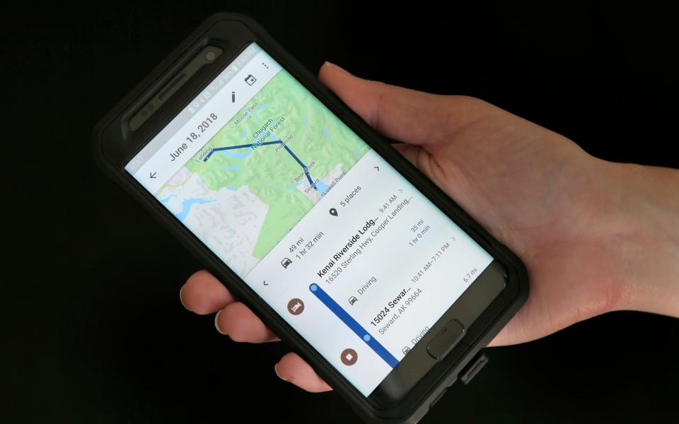
Google Maps will no longer always show motorists the fastest route, suggesting fuel efficient driving directions instead in an attempt to help drivers reduce their carbon footprint.
The popular navigation app will default to the most fuel efficient route which will be calculated by considering road incline and traffic congestion, using local government data. It will do so even if motorists might shave a few minutes off a trip by taking alternative directions.
In cases where an eco-friendly route will add a significant amount of time to a trip, it will show alternatives so drivers can pick the quickest route if they prefer. However, Google will also share the relative carbon dioxide emissions between alternative routes.
The feature will launch in the US on Android and iOS this year, with expansion into the UK on the way.
From June, drivers in the UK will receive alerts when using the app that they are driving in emission zones: areas where certain diesel cars or cars with specific emissions stickers are restricted in a bid to keep the air clean.
Central London charges older vehicles with higher emissions and similar initiatives exist in Brighton, Glasgow, London, Norwich and Oxford.
Helpful new AI-powered features are coming to @GoogleMaps: the next generation of Live View indoors to help you navigate airports & malls using AR, weather & air quality information, eco-friendly routes for driving directions + more. https://t.co/pBnXoBQu1f pic.twitter.com/EFchyYeRX5
— Sundar Pichai (@sundarpichai) March 30, 2021
Bath and Birmingham are set to launch a Clean Air Zone in 2021 which will charge buses, coaches, heavy goods vehicles, taxis and private hire vehicles for driving within the zone’s boundary if they don’t meet minimum emissions standards.
Bristol, Cardiff, Hull, Manchester, Middleton and Sheffield all have similar plans to introduce emission zoning.
The Google Maps updates, announced on Tuesday, are just among around 100 improvements the technology giant is bringing to its Maps app in 2021.
Other additions include augmented reality directions inside airports, shopping centres and train stations, which can direct people to check-in desks or the correct lift they need to take to get to the right departure area.
The technology combines the precise altitude of the person's phone, placement of objects inside a building and artificial intelligence which scans tens of billions of Google Street View images to understand their location.
