Watch Hurricane Ian intensify in real time as storm barrels toward Gulf, Florida coast
Hurricane Ian is moving over western Cuba Monday night and is expected to strengthen to a Category 3 storm before entering the Gulf of Mexico.
The storm is projected to make landfall near Tampa between Wednesday and Thursday. Manatee County and the Bradenton area are under a hurricane warning.
Ian, a Category 2 hurricane at 8 p.m. EST, is getting stronger and more organized.
“Conditions in Western Cuba beginning to deteriorate with significant wind and and storm surge impacts expected overnight,” according to a National Hurricane Center advisory.
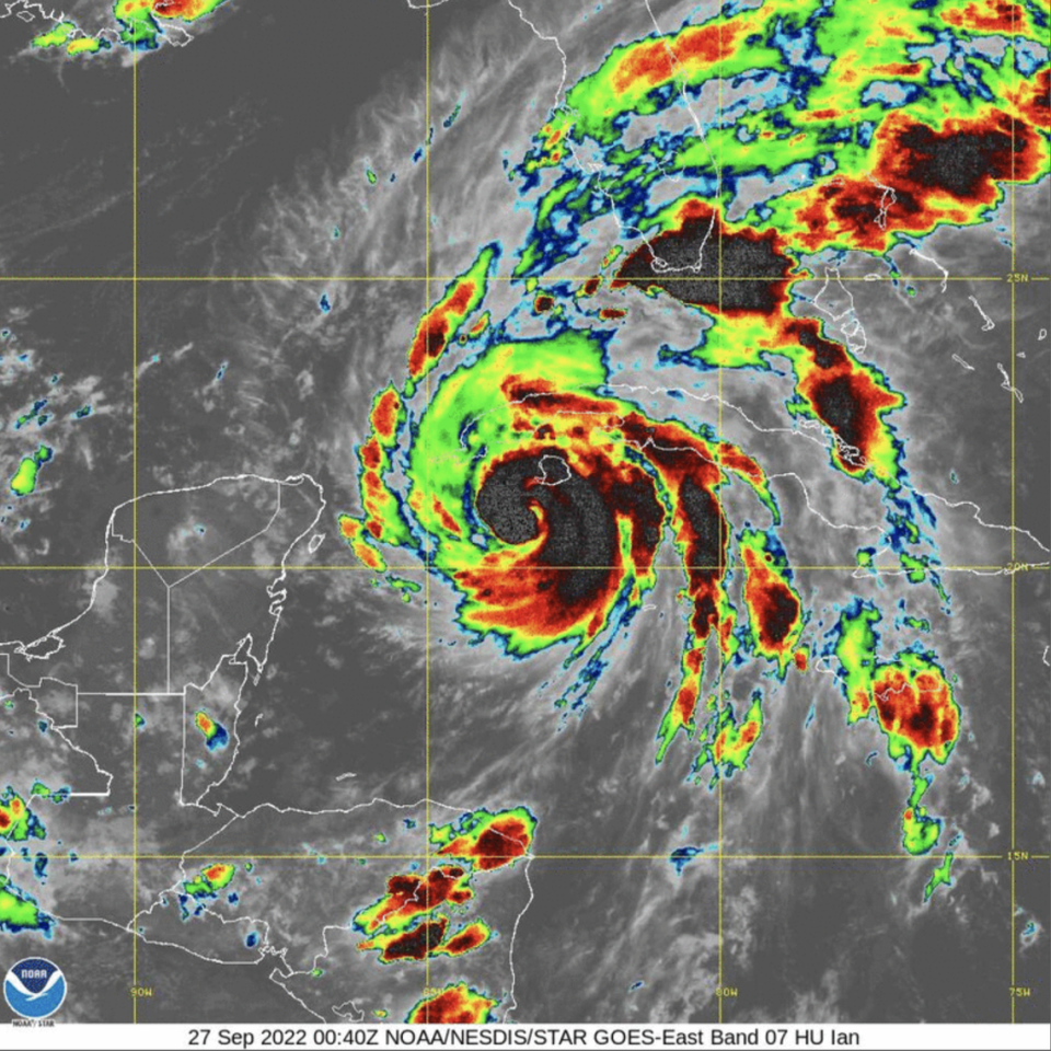
What does Ian look like right now?
The NHC provides satellite imagery of the hurricane. The video loops update in real-time so Florida residents can track the storm’s motion and progress into the Gulf.
Ian will likely be the “storm of a lifetime” for Tampa Bay area residents, Jamie Rhome, NHC acting director, told CNN. “Extreme and life-threatening storm surge” is predicted for Bradenton, Tampa Bay, Anna Maria Island and the upper half of Longboat Key.
Go here for live Ian updates for Manatee County.
Bradenton Herald reporter Ryan Ballogg contributed to this report.

