Ghost forests are creeping along NC’s coast. They’re big enough to be seen from space
Dead. Pale. Devoid of limbs.
No not the stars of horror stories, but families of trees sprawled across America’s East Coast that are being swallowed by swarms of salty ocean water.
Scientists call them “ghost forests” — and they’re becoming more common as human-driven climate change paves the way for more frequent extreme weather events that cause abrupt environmental changes nearly impossible to recover from.
They’re also getting bigger. So much so, the barren land can be seen from space.
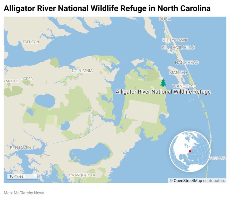
One particular forest in North Carolina within the Alligator River National Wildlife Refuge, home to endangered animals and unique wetlands, has lost 11% of its tree cover due to rising sea levels since 1985, according to a Duke University study published Sunday in the journal Ecological Applications.
What’s more, the ghost forest wreaked the most havoc in just one year out of the 35-year study period. The die-off followed a five-year drought and a hurricane that killed five people in the state and brought a 6-foot wall of seawater ashore.
The devastating year essentially choked the trees to death, sucking their moisture from its seeds and stems, creating a graveyard of “wooden tombstones.”
Researchers refer to the region as “the leading edge of climate change.”
“This flooding is evidence that climate change is altering landscapes along the Atlantic coast. It’s emblematic of environmental changes that also threaten wildlife, ecosystems, and local farms and forestry businesses,” study co-author Emily Ury, a Ph.D. candidate at Duke University in North Carolina, wrote of her study in the Conversation. “Like all living organisms, trees die. But what is happening here is not normal. Large patches of trees are dying simultaneously, and saplings aren’t growing to take their place. And it’s not just a local issue.”
The team analyzed images taken from 1985 to 2019 by satellites floating in space, and then they fed them to a computer algorithm that studied how much of the forest was covered with pines, hardwoods, shrubs, grassy marsh, open water or dead trees.
Over 35 years, the refuge lost nearly 47,000 acres of forest — that’s about the size of 35,000 football fields.
”It’s not just the fringe that’s getting wetter,” Ury said in a statement. More than half of those losses occurred in the refuge’s interior about a mile away from the surrounding coast.
The most “noticeable” die-off was in 2012, the researchers learned, right after the five-year drought and 2011’s Hurricane Irene that flooded the region more than a mile inland. “Within months, entire stands of dying and downed trees were visible from space.”
Aside from extreme weather events, sea levels are rising. From 1900 to 2000, the ocean rose by about a foot along the east coast of North Carolina, and it’s expected to rise between 2 and 5 more feet by the end of the century.
That’s faster than the global average. Since about the same time, global sea level has risen about 8 to 9 inches, “with about a third of that coming in just the last two and a half decades,” according to the National Oceanic and Atmospheric Administration. The creeping water levels are mostly due to melting glaciers and ice sheets and expansion of seawater as it warms — all products of warming temperatures.
The North Carolina refuge originally built ditches and canals to drain water out of the protected region, but those systems now bring in rushing seawater, which is about 400 times saltier than fresh water.
The salt poisons soil and plants, draining them of their moisture, making it hard for new seedlings to grow and for trees to reproduce. The freshwater forests — already threatened by land clearing, fires and invasive species — then become salty marshes.
The green massacre also eliminates plant’s ability to absorb carbon dioxide from the atmosphere and provide clean air for humans and wildlife. This, in turn, exacerbates climate change.
The study is not the first to discover how sea level rise creates ghost forests along the nation’s coasts. A Rutgers University study published this year found the same destruction is happening in the mid-Atlantic and southern New England coasts, from Virginia to Massachusetts.
Nationally, the phenomenon could eventually lead to reduced crop yields and contaminated sources of water that people rely on to drink, researchers of the North Carolina study said.
But there are ways to slow down the effects of rising sea levels.
For example, experts in North Carolina and elsewhere are creating “living shorelines made of plants, sand and rock to provide natural buffering from storm surge,” Ury wrote.
Land conservation and restoration of coastal areas can provide space for coastal forests to move away from shores as seas rise, and the introduction of salt-tolerant marsh plants could continue to house endangered wildlife and allow land to continue storing carbon.
Zombie lizards may not be falling from trees as often as they used to. Here’s why
Toxin found in crabs ups risk of fatal heart disease in hungry sea otters, study finds
Burger King is using beef from cows that burp and fart less. Here’s why that matters

