Flood warnings issued across England as heavy rains set to drench the country

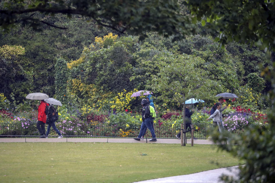
Flood warnings have been issued for large parts of England as heavy rains look set to cause chaos across the country.
The Environment Agency currently has 28 localised warnings in place for England in counties including Cornwall, Devon, Somerset, Yorkshire, Hampshire, Sussex and Lincolnshire.
There are two warnings in place in Monmouthshire in Wales plus 175 alerts for possible flooding across the country.
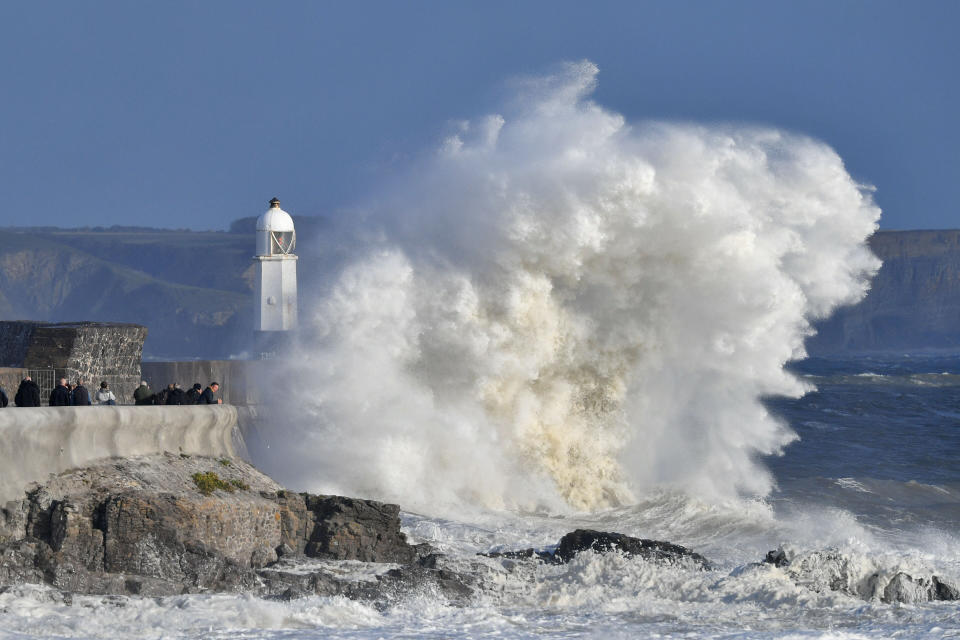
Forecasters warn that up to 70mm of rain could fall over the highest parts of the country on Sunday – on top of land that is already saturated.
Parts of England and Wales had a brief reprieve from the heavy rain on Sunday morning but are due to get a second drenching on Monday.
Those concerned about the risk to their area are urged to check the Environment Agency website for more information.
Alex Burkill, a meteorologist with the Met Office, said: “Today we’ve got the heaviest rain across northern England and it’s pushing its way eastward.
“In the rest of England and Wales there are showery outbreaks but we’ve probably seen the worst of the rain for these parts.
“We could see a further 30mm to 40mm over the highest ground in northern England as we go through the rest of the day.
READ MORE FROM YAHOO NEWS UK:
Europe ‘warming faster than climate models projected’, research suggests
Bank holiday weekend sunshine continues as Britain to bask in 32C heat on Sunday and 33C on Monday
Foggy start to bank holiday weekend to turn to 33C heatwave
“We’ve already seen some fairly significant rainfall and there will be further persistent rain through northern and central England and further showery outbreaks in Wales.”
Sennybridge in Brecknockshire saw the highest rainfall, with 53.8mm falling in the last 24 hours, followed by Footholm Flume in Lancashire at 48.8mm.
Mr Burkill said: “Monday is going to start off pretty fine for most places, however a system is going to come in through the day reaching south-west England and Wales by 10am tomorrow morning and spreading eastwards as we go through the day.
“By evening rush hour, much of England and Wales will be pretty wet.”
This satellite and radar loop shows it's been a wet day for many; the heaviest #rain is pushing eastwards across northern England 🌧️ pic.twitter.com/TzA6ysXMT5
— Met Office (@metoffice) September 29, 2019
Another 70mm could fall over the highest areas, Mr Burkill said, which would be falling onto already saturated ground.
“Monday will be another very wet one for England and Wales but for Scotland and Northern Ireland, they are going to have another fairly dry day, just a few showers and some bright spells.”
He said parts of England and Wales could see highs of 19C (66.2F) or 20C (68F), a little above average for the time of year, but that this would be masked by the wind and the rain.
“It’s not going to feel pleasant by any means,” he said.
Police forces in England and Wales have warned drivers to take care on slippery and potentially treacherous roads, and rail passengers are advised to check their route for delays before travelling.
Northern Rail asked cycling fans turning out for the final day of the UCI Road World Championships in North Yorkshire to rethink their travel plans after the route had to be changed to avoid flooding.

