Sea level rise accelerating along US coastline, scientists warn
The pace of sea level rise accelerated at nearly all measurement stations along the US coastline in 2019, with scientists warning some of the bleakest scenarios for inundation and flooding are steadily becoming more likely.
Of 32 tide-gauge stations in locations along the vast US coastline, 25 showed a clear acceleration in sea level rise last year, according to researchers at the Virginia Institute of Marine Science (Vims).
The selected measurements are from coastal locations spanning from Maine to Alaska. About 40% of the US population lives in or near coastal areas.
The gathering speed of sea level rise is evident even within the space of a year, with water levels at the 25 sites rising at a faster rate in 2019 than in 2018.
The highest rate of sea level rise was recorded along the Gulf of Mexico shoreline, with Grand Isle, Louisiana, experiencing a 7.93mm annual increase, more than double the global average. The Texas locations of Galveston and Rockport had the next largest sea level rise increases.
Generally speaking, the sea level is rising faster on the US east and Gulf coasts compared with the US west coast, partially because land on the eastern seaboard is gradually sinking.
Researchers at Vims said that the current speed-up in sea level rise started around 2013 or 2014 and is probably caused by ocean dynamics and ice sheet loss. Worldwide, sea level rise is being driven by the melting of large glaciers and the thermal expansion of ocean water due to human-induced global heating.
“Acceleration can be a game changer in terms of impacts and planning, so we really need to pay heed to these patterns,” said John Boon, Vims emeritus professor and founder of institute’s project to chart sea level rise.
The US’s National Oceanic and Atmospheric Administration (Noaa) has also reported an acceleration in sea level rise, warning that if greenhouse gas emissions are not constrained there may be a worst-case scenario of as much as a 8.2ft increase by 2100, compared with 2000 levels.
The current pace of change means “we may be moving towards the higher projections”, according to Molly Mitchell, a Vims marine scientist.
“We have increasing evidence from the tide-gauge records that these higher sea-level curves need to be seriously considered in resilience-planning efforts,” Mitchell said, adding that the US west coast will probably start seeing more rapid increases, akin to the east.
“Although sea level has been rising very slowly along the west coast, models have been predicting that it will start to rise faster. The report cards from the past three years support this idea.”
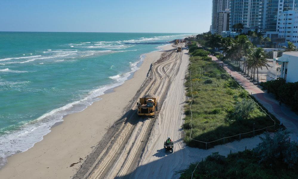
Even at the lower end of Noaa projections, of about 12 inches of sea level rise by 2100, several US cities such as Miami and New York face considerable harm from flooding events.
The climate crisis will probably drive more powerful storms, such as the recent hurricanes Irma and Harvey, which would exacerbate flooding through storm surge.

